Management
Team coordination, operations, vendor and stakeholder management, planning, business process improvement and execution.

Co-Founder & Technical Director @ AINNA | CTO
Financial Systems Architecture · AI Infrastructure · Business Operations
Masli Yahaya designs the control layer between messy operational reality and decisions that management can trust.
His work spans engineering, IT infrastructure, ecommerce, automation and AI, but the constant is the same: understand the operation, preserve the evidence and build the shortest reliable path to action.
At AINNA, that approach is visible in NeuralOps, private AI infrastructure and the financial systems that move from bank source data to reconciled management reports.
Not AI for display. Systems that make work traceable, governable and useful.
The architecture starts before the code. Masli combines operational supervision, technical management, infrastructure planning, vendor coordination, product development, ecommerce and AI implementation to decide what should be automated, what must remain deterministic and where human judgement belongs.
Team coordination, operations, vendor and stakeholder management, planning, business process improvement and execution.
IT infrastructure, databases, networking, software systems, AI agents, automation, detached systems and enterprise architecture.
E-commerce operations, financial workflows, digital transformation, product development, customer systems and scalable SME technology.
This combination allows him to approach technology from a management perspective while keeping execution practical, measurable and aligned to business outcomes.
Financial data is only useful when every number can be traced back to its source. Masli led two major financial-system initiatives within AINNA NeuralOps to solve the gap between bank documents, accounting structure and management decisions. The design uses deterministic processing, validation, auditability and human control rather than trusting generative AI alone.
Raw bank evidence stays identifiable. Parsing and classification create derived layers instead of silently rewriting the original record.
Duplicates, missing rows, debit-credit imbalance and exceptions become reviewable signals before they reach management reporting.
AI can assist classification and analysis. Posting, reconciliation and approval remain governed by rules and authorised people.
A financial-data ingestion and normalization system that turns inconsistent bank documents into structured transactions without losing provenance.
An end-to-end financial operations architecture that turns normalized transactions into journals, ledgers and management reports with a visible audit path.


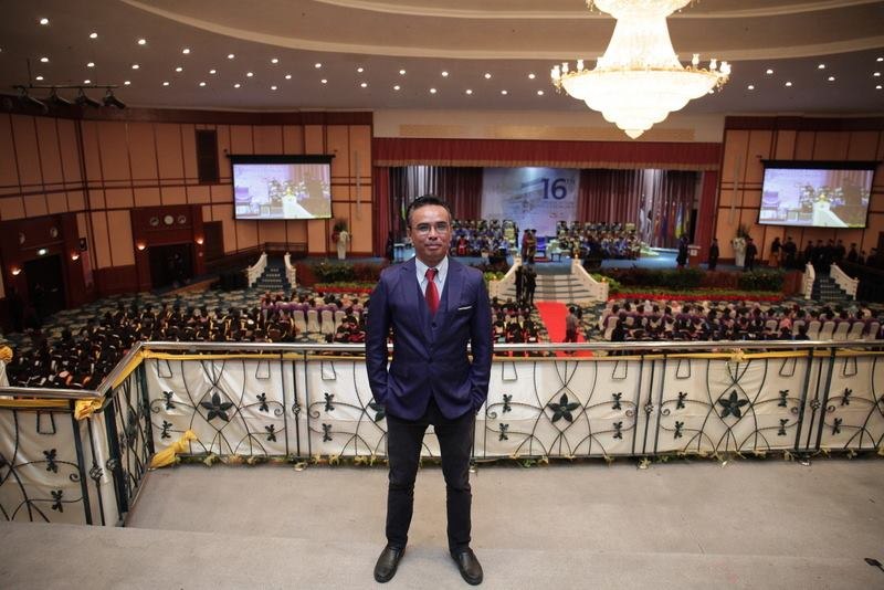
Masli Yahaya
Technical Director @ AINNA | CTO
30+ years across engineering, enterprise IT, automation and systems development, now leading the technical architecture behind AINNA NeuralOps.
Masli Yahaya is Co-Founder & Technical Director at AINNA. He designs systems that connect source data to management decisions.
Masli Yahaya's focus at AINNA covers traceable financial systems, private AI infrastructure and operational architectures.
AINNA (Ainna Need Enterprise) is a Malaysia-built AI systems infrastructure company founded in 2019, developing NeuralOps, private AI infrastructure and agentic AI systems.